The jetty
The construction of the jetty provides essential access to the property, enabling residential use and safer evacuation during emergencies. The design and planned mitigation measures ensure that the development is environmentally responsible and beneficial for the community.
The jetty starts within the site area and connects the proposed dwelling to the Hawkesbury River, which is Crown Land.
The development includes installing a new FRP jetty (1.2m wide which extends from approximately 15m above the mean high water mark and 38.9m beyond the mean high water mark). The length of the jetty is similar to neighbouring approved domestic waterfront facilities.
The development also includes installing a new suspended ramp (6m x 1.2m) and a longitudinal pontoon (3.6m x 2.46m) with two stabilisation piles on both downstream corners. The pontoon size is on the smaller side for the area.
The pier spacing will be the maximum possible, whilst still keeping the kink at the correct spot in order to minimise mangrove mangrove impact. Increased pier spacing has been proposed to reduce impact of the substrate and mangroves.

Footings
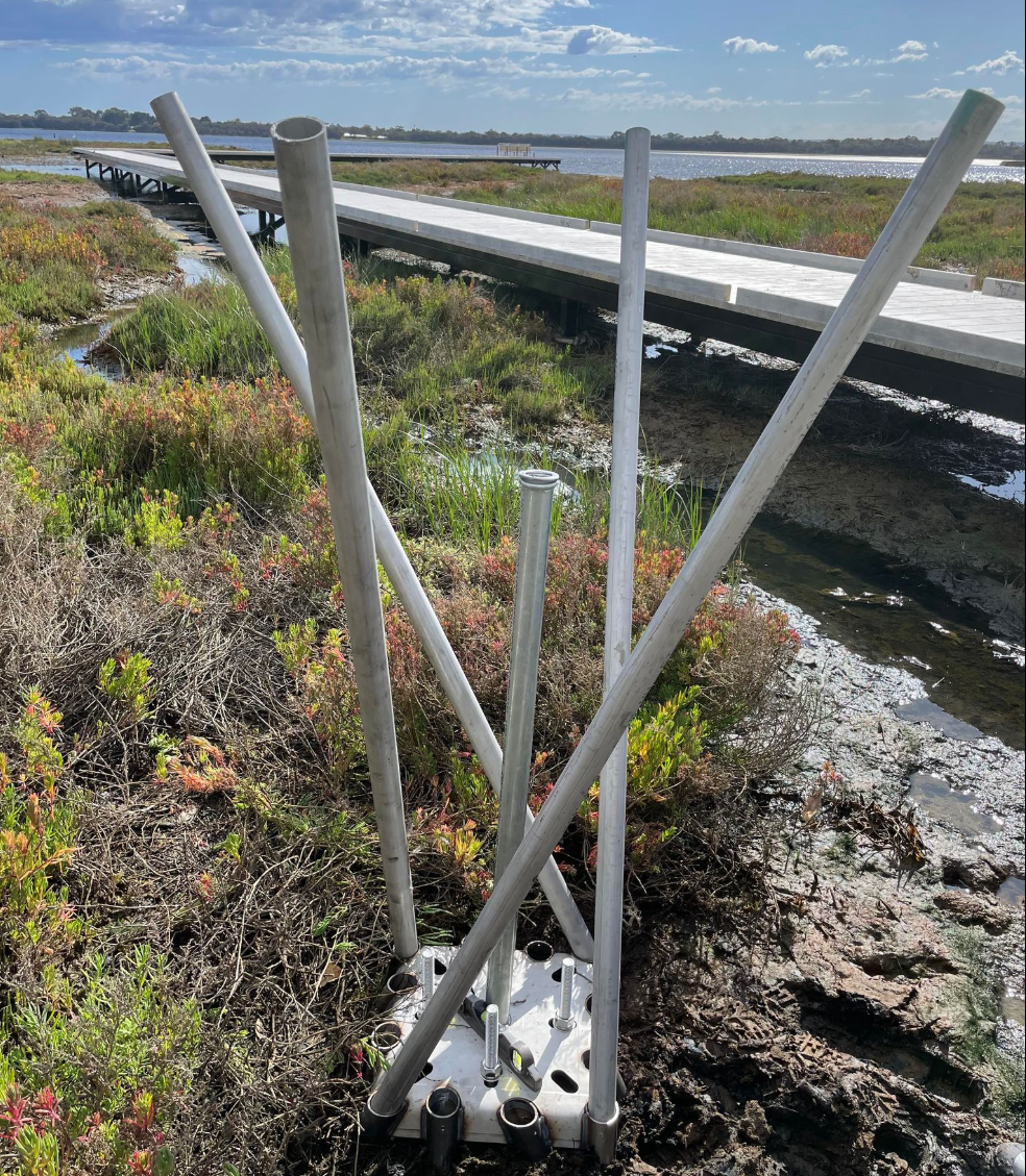
Unless Geotech findings are different to what is expected, the jetty will use Surefoot footings (using micropiles) in the mangrove area so as to minimise the impact on the wetland area and acid sulfate soils. Surefootings are designed to avoid excessive disturbance to the soil and surrounding vegetation, ensuring the natural integrity of the wetland is preserved. Their innovative design enables efficient installation without heavy machinery, reducing erosion and habitat disruption. Special drilling augers and other equipment are not needed when using Surefoot footings, just small portable tools, minimising the impact on surrounding mangroves.
Materials
FRP meshing was chosen as it will allow at least 50% light penetration and will not require regular use of chemicals to clean or maintain it.

Minimizing environmental impact
The jetty has been positioned to project from the land/water interface in an existing clearing, resulting in the least amount of disturbance to the natural environment. The impacts to foreshore vegetation has been limited to the proposed pruning of two mature mangrove trees to allow for pedestrian access along the jetty. There are no mangrove tree trunks located in the footprint of the proposed new jetty, aside from a dead mangrove which will be removed but kept on site to provide animal habitat.
The pontoon and mooring area extend into the waterway no greater than the minimum water depth required to achieve ‘useable water depth’ to allow sufficient water beneath the bottom of the pontoon and seabed in all tidal conditions which is understood to be -1.5m Australian Height Datum (AHD). This means that approximately on a zero tide, there would be 600mm clearance between the bottom of the pontoon and the seabed, therefore avoiding disturbance (such as impacts to turbidity) of the seabed.
Create Your Own Website With Webador